
El Verger: Between the River Delta, Serra de Segària and Cultural History
Accommodation in El Verger
El Verger occupies part of the delta of the Girona River. The Serra de Segària stretches over 6 kilometres; the town’s history includes riuraus, mills, towers and churches.
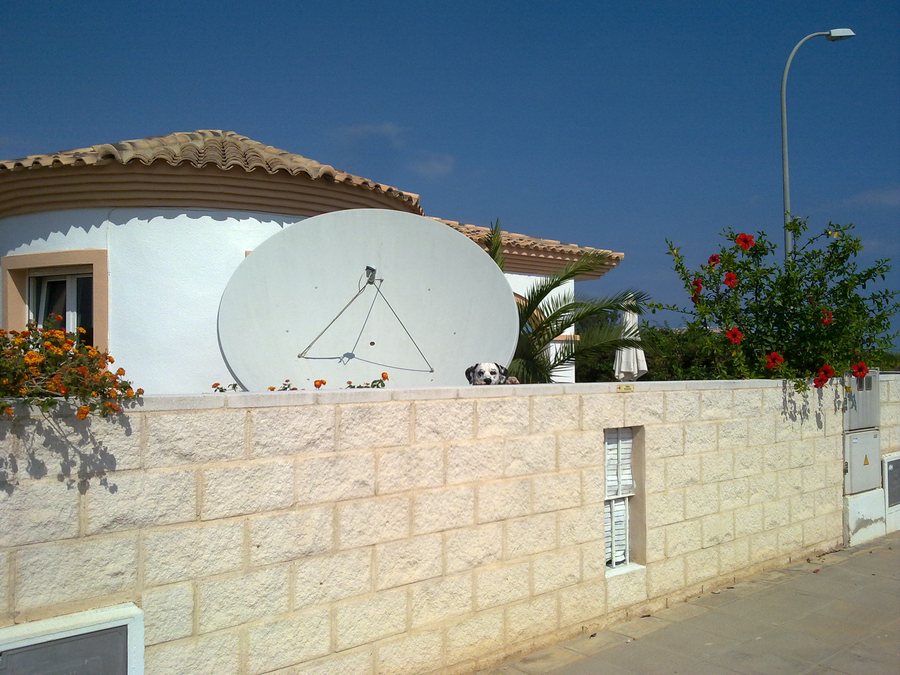 File:El Verger, 03770, Alicante, Spain - panoramio (1).jpg
Photo: wetcrow via Wikimedia Commons, CC BY 3.0
File:El Verger, 03770, Alicante, Spain - panoramio (1).jpg
Photo: wetcrow via Wikimedia Commons, CC BY 3.0
River Delta and Serra de Segària
El Verger occupies part of the delta of the Girona River. The nutrient-rich, water-abundant soils favour the cultivation of citrus fruits and vegetables there. This agricultural character is visible along the Vía Verde as well as on the route experience Entre Tarongers.
The Serra de Segària stretches over 6 kilometres and offers views of the Girona River, the Vall de Gallinera and the Marjal de Pego-Oliva Natural Park. Protected, endemic, rare or endangered plants grow in the Serra. The area is covered by the LIC Valls de la Marina and ZEPA Montañas de la Marina protection designations.
The Parc Públic L’Ombria de la Segària serves as a starting point for hiking trails in the Serra de Segària. It has several picnic areas and a play area for children.
Hiking, Climbing and Pilgrimage Routes
The PR-CV 415 hiking trail runs through the Serra de Segària. Together with the local trails SL-CV 109 and SL-CV 161, it connects the natural areas of the Serra. Visitors use these trails for hiking and to access caves, shafts, peaks and settlement sites.
A local circular route from the Parc Públic L’Ombria de la Segària runs through the Penya Roja area and close to the Iberian settlement of Penya Roja. It also provides access to the La Cara de l’Indi climbing school. The climbing area at Penya Roja in the La Cara de l’Indi section has 12 climbing routes.
The climbing area of the Serra de Segària has an information board showing the locations, names, difficulty levels and average heights of the routes. Two additional boards at the public park and the car park indicate the way to the climbing area.
The Camino de Santiago also passes through El Verger and then continues as far as Almansa. The section running through the town is signposted. Stamping points for pilgrims’ credentials are located at the town hall, the tourist information office, the church and some businesses.
Along Former Railway Lines
The Camino Natural Vía Verde de Dénia follows the disused Carcaixent–Dénia railway line and passes through an agricultural landscape dominated by citrus cultivation. The Vía Verde de Dénia is a route of around 6.5 kilometres on a former railway track connecting Dénia and El Verger, which can be used on foot or by bicycle. There are rest areas and viewpoints along the route.
The route experience Entre Tarongers passes through Pedreguer, Ondara and El Verger. It suggests an easy walk along quiet paths and roads through agricultural citrus landscapes.
Riuraus and Regional History
El Verger is part of the Ruta dels Riuraus in the Marina Alta. The local route includes around ten riuraus in different architectural forms. The Ruta dels Riuraus is a rural, cultural and gastronomic route that conveys the heritage of raisin production in the province of Alicante; El Verger is one of the municipalities included.
The Cova Fosca lies at the eastern end of the Serra de Segària. The cave chamber is approximately 4 metres wide and 7 metres high and comprises two chambers, a long, wide gallery and further side passages. During the Neolithic period, the Cova Fosca was used as a dwelling, during the Eneolithic as a burial cave, and later, during the Iberian period through to Roman times, as a sanctuary.
The Casa del Trapig was a sugar mill dating from the 16th century. Sugar cane grown locally was processed into molasses there; later, the building served as an olive oil mill. The surviving remains of sugar-cane processing include clay containers and three millstones. One of these millstones has a diameter of more than 1.70 metres.
The Torre del Palau dels Medinaceli is the only surviving remains of the vanished palace of the Duke of Medinaceli. The Església Neoclàssica dates from the early 18th century; its façade is dated 1732. Inside, it has a single-nave layout with five interconnected side chapels.
The Torre del Blanch de Morell is also known as the Torre de la Cremadella. It probably dates from the late 13th or 14th century and was designed more as a residence than as a defensive tower. The Mur àrab are the surviving remains of a rectangular complex dating from the 14th to the 16th century and located on the Girona River.
The Casa de la Senyoreta de la Bassa is an early 20th-century building with a ground floor and two upper floors. Its courtyard adjoins the Mare de Déu del Rosari church. The Fàbrica de Sabó is now used as a cultural centre where various activities are organised.
Which accommodation base suits your plans?
When deciding whether a hotel or another type of accommodation in El Verger suits your travel plans, the different types of experiences can help with orientation: the Serra de Segària represents hiking trails, caves, peaks and natural areas; the Vía Verde offers routes on foot or by bicycle; while riuraus, mills, towers and churches form the historical focus.
Discover More Destinations
For further orientation, you can also discover Forna, Daya Vieja, Santa Pola, Agost, Benidoleig, Penella, Gata De Gorgos and La Vila Joiosa.
To the higher-level travel overview: Alicante.

.jpg)