
Hiking in the Valencia Region
Hiking is one of the most versatile ways to discover the entire Valencia region. Trails lead through forests and ravines, past historic sites, along rivers and through wetlands near the coast. The provinces of Castellón, Valencia and Alicante differ considerably in their elevation profiles and terrain. There are options ranging from short walks to challenging mountain hikes—the key is to choose a route suited to your experience and the current weather conditions.
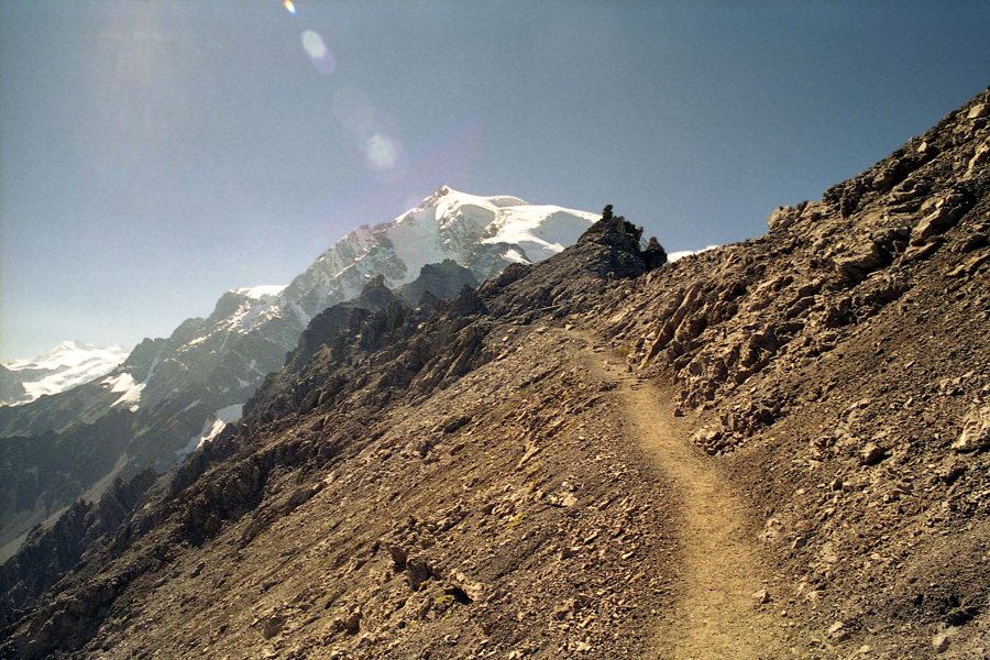 Symbolbild eines felsigen Bergpfads in Südtirol, Italien; zeigt keine Wanderroute in der Region Valencia.
Photo: VinschgerEngl
Symbolbild eines felsigen Bergpfads in Südtirol, Italien; zeigt keine Wanderroute in der Region Valencia.
Photo: VinschgerEngl
Hiking in the three provinces
In Castellón, the mountain and woodland landscapes around Penyagolosa, la Tinença de Benifassà and the Sierra de Espadán offer plenty of routes of varying lengths. Around Lucena del Cid, trails pass streams and historic mills; water levels and access may vary by season. For an overview to help you get your bearings in the northern province, see Castellón and its mountain landscapes; destinations such as Morella combine hiking with a visit to a historic town.
In the province of Valencia, the area around Chelva combines waterside trails with a historic aqueduct at Peña Cortada. The ravine landscape of Chulilla and hikes in nature parks are also popular starting points. If you are looking for routes near the capital, you can combine them with a stay in Valencia city. In Alicante, La Vall de Laguar is known for the challenging “Catedral del Senderismo” route; with its steep climbs, steps and length, it is no leisurely stroll. For ideas on places to visit between the coast and inland areas, see the overview of Alicante and the province. Check the current route, access conditions and difficulty for each hike.
Choosing the right hike
Start by checking the distance, elevation gain, walking time, terrain and difficulty. The number of kilometres alone tells you little if a trail is steep, rocky or exposed to strong sun. Allow extra time for breaks, navigation and the return trip. For circular routes, check that they really do return to the starting point; for point-to-point hikes, arrange transport and overnight accommodation.
Families with children are generally better suited to shorter, well-marked trails with several opportunities to turn back. For challenging mountain hikes, sure-footedness, suitable footwear and experience with elevation gain matter more than speed. Guided hikes can make navigation easier and offer insights into nature and culture, especially in hard-to-follow terrain. You can also find information about more technically demanding activities in the overview of adventure and active holidays.
Take heat, water and weather seriously
During the warmer months, it makes sense to set off early. Bring plenty of water and sun protection, and do not count on finding an open drinking fountain or place to eat along the way. Weather can change quickly at higher elevations; on the coast, heat and a lack of shade can make conditions more strenuous. Check weather warnings, wildfire alerts, closures and local regulations shortly before setting out.
Ravine and river trails require particular care. After heavy rain, water levels can rise and trails can become slippery or impassable. Do not enter a ravine if thunderstorms are possible, and never cross a flooded trail. Stay on marked paths, do not bypass barriers, and let someone know your planned route and return time if you are hiking in a remote area.
Navigation and respect for nature
Use up-to-date maps and download the route for offline use; mobile reception is not reliable everywhere. Watch for trail markers, junctions and signs along the way. If markers are missing or conditions become unsafe, turning back is a sensible choice. For longer hikes, preparation should include a charged phone, an emergency contact and basic equipment.
Protected areas have rules to safeguard animals, plants and habitats. Stay on the trails, keep dogs under control in accordance with local rules, and take all rubbish with you. In wetlands or during the breeding season, some sections may be subject to special restrictions. Photograph wildlife from a distance and avoid making noise. The article on nature parks and wildlife offers further guidance on sensitive habitats. For trails through protected landscapes near the capital, the overview of nature parks in the province of Valencia is also useful.
Practical planning for a day hike
- Check the starting point, how to get there, parking and public transport.
- Compare the elevation gain and terrain with your experience, not just the distance.
- Check the weather, heat, risk of thunderstorms and trail closures.
- Bring water, sun protection, suitable footwear, an offline map and a charged phone.
- Plan your return journey and allow extra time; for point-to-point hikes, also arrange transport from the destination.
The region’s official route finder can be filtered by province and municipality. Check current conditions there and with the relevant local authorities before setting off.
Frequently asked questions about hiking
Which hikes are suitable for beginners?
Choose a short, well-marked trail with a moderate elevation profile and a clear way back. The right route depends on your fitness, the weather and trail conditions.
Is the “Catedral del Senderismo” suitable for families?
The route at La Vall de Laguar is challenging and includes many steps and a considerable elevation gain. Check the current official difficulty rating and choose it only if everyone in your group is sufficiently fit and sure-footed.
Can I hike in summer?
Yes, but you need to take the heat and your water needs into account. Set off early, avoid the hottest part of the day, and skip the hike if warnings are in place or conditions are extremely strenuous.
What should I keep in mind when hiking in a ravine?
Check current water levels, weather and access conditions. Do not enter a ravine if thunderstorms are possible or after heavy rain.
Do I need a guided hike?
Not necessarily on clear, well-marked trails. In challenging or hard-to-follow terrain, a qualified local guide can help with safety and navigation.
Image note: Illustrative image of a rocky mountain path in South Tyrol; it does not show a hiking trail in the Valencia region.
Route overview: Hiking in the Valencia region.
